Resource Center

Real stories, helpful guides, and the latest from the field.

Minimal illustration of a yellow location pin set into the ground with topographic contour lines rippling outward
Featured article

DirtMate RTK 101: Centimeter-level positioning for grade checks, stakeout, and in-cab guidance

DirtMate RTK is a subscription upgrade to DirtMate hardware that delivers centimeter-level GPS positioning for grade checking, point capture, stakeout, and live in-cab cut/fill display, using a base-and-rover correction setup or an existing NTRIP network. It closes the gap between weekly drone surveys and daily field decisions, letting foremen and operators verify grade independently without mobilizing a survey crew. Validated to within 2/100ths of a foot against a Trimble rover on an active civil site, it’s built for field supervision tasks between survey milestones, not as a replacement for licensed survey work.

Product
Reset
Industry
Reset
Workflow
Reset
Region
Reset
How Regular Aerial Surveys Can Improve Worksite Safety and Management
Read time: 6 mins
Meet Propeller’s Engineering Team: UI/UX Designer Linh Le
Read time: 4 mins
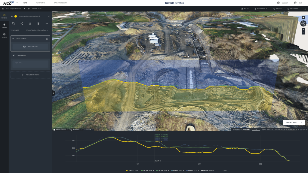
Source of Truth, Seamless Data Sharing Eliminates Disputes for Oslo’s NCC
Read time: 5 mins
Why PTO Improves Company and Employee Productivity Alike
Read time: 4 mins
Meet Your Customer Success Team: Margaret Farmakis
Read time: 5 mins
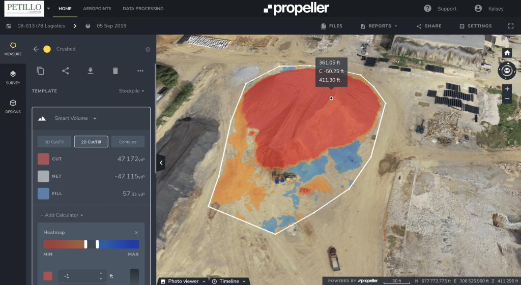
New Jersey-Based Petillo Inc. Manages Environmental Issues, Balances Worksite Using Drone Data
Read time: 6 mins
Meet Your Hardware Team: Angus Keatinge
Read time: 4 mins
Use The Ultimate Guide to PPK Drone Surveying
Read time: 6 mins
Person turning on an AeroPoint unit on a construction site wearing a hi-vis vest and hardhat
The Most Common Questions We Get From Propeller Customers Before They Commit
Read time: 7 mins
Women in UAV Surveying Q&A: Fyfe’s Heidi Gore
Read time: 6 mins
Construction Software You Should Know About
Read time: 7 mins
Earthwork Industry News Roundup: October 2019
Read time: 2 mins