Resource Center

Real stories, helpful guides, and the latest from the field.

Aerial 3D render of a data center construction site with graded earth, utility trenches, and drainage controls transitioning into a digital site map
Featured article

The data center environmental risk contractors can actually control

Data center projects move fast, disturb large areas, and invite scrutiny over how teams manage land, water, and utilities. A clear, timestamped site record is the environmental risk contractors can actually control.

Why Are Late Payments the Norm in Construction? Reasons and Solutions
Read time: 3 mins
How to Survey Worksites with Significant Elevation Change
Read time: 8 mins
Meet Your Finance Team: Dan White
Read time: 4 mins
Colorado’s Zak Dirt Generates Fast, Accurate Topos for Highway Project
Read time: 5 mins
NX2 Uses Propeller for Total Worksite Management on New Zealand’s National Motorway Project
Read time: 6 mins
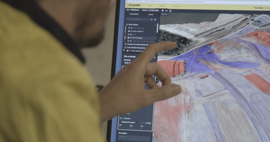
Over-the-shoulder photo of someone looking at the Propeller platform on a tablet.
Photogrammetric Processing 101: To Self-Process, or to Not Self-Process?
Read time: 7 mins
Meet Your Product Team: Chris Cooper
Read time: 5 mins
2019 End-of-Year Review: What Has Propeller Built for You?
Read time: 5 mins
Overhead photo of two site workers looking at a development map.
Say Hello to Quick and Easy PDF Map Exports—Here’s What You Need to Know
Read time: 4 mins
How Regular Aerial Surveys Can Improve Worksite Safety and Management
Read time: 6 mins
Meet Propeller’s Engineering Team: UI/UX Designer Linh Le
Read time: 4 mins
Source of Truth, Seamless Data Sharing Eliminates Disputes for Oslo’s NCC
Read time: 5 mins