Resource Center

Real stories, helpful guides, and the latest from the field.

Aerial 3D render of a data center construction site with graded earth, utility trenches, and drainage controls transitioning into a digital site map
Featured article

The data center environmental risk contractors can actually control

Data center projects move fast, disturb large areas, and invite scrutiny over how teams manage land, water, and utilities. A clear, timestamped site record is the environmental risk contractors can actually control.

How Construction Technology Supports Recruitment and Strengthens Teams
Read time: 4 mins
How Superior Construction Leverages Drone Data and Analytics to Scale Operations
Read time: 5 mins
Tips for Mitigating Risk on Earthworks Projects with Technology
Read time: 3 mins
Increase Worksite Safety with Drone Technology
Read time: 4 mins
A survey screenshot showing Lidar - Light Detection and Ranging.
LiDAR vs Photogrammetry: Comparing Accuracy, Cost, and Application
Read time: 5 mins
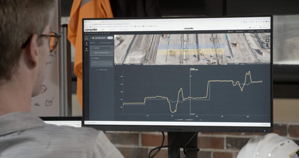
Two men in hard hats sat looking at the Propeller platform on a computer screen.
How to Convert DWG to KML and DXF to KML
Read time: 3 mins
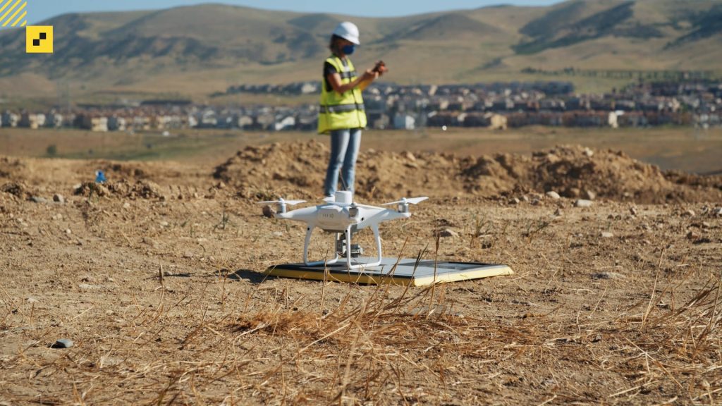
A drone hovering above an AerPoint sat on the ground.
Unlocking precision: How RTK surveys and PPK technology revolutionize aerial mapping
Read time: 5 mins
America’s Infrastructure: Spotlight on Civil Construction
Read time: 4 mins
Five AeroPoints are stacked on top of each other in a spiral.
Meet AeroPoints 2: The Next Gen
Read time: 3 mins
Potential Impact of New U.S. Infrastructure Plans on American Construction Companies
Read time: 4 mins
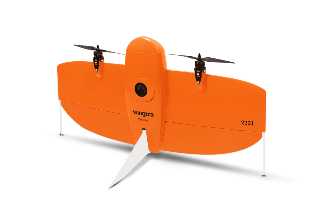
Wingtra One Propeller PPK
“Propeller Aero and Wingtra to deliver drone surveys for AEC industry” GIM International | May 27, 2021
Read time: < 1 min
Propeller PPK with WingtraOne: A New High-Precision, Large-Area Drone Data Processing Solution
Read time: 4 mins