Resource Center

Real stories, helpful guides, and the latest from the field.

Aerial 3D render of a data center construction site with graded earth, utility trenches, and drainage controls transitioning into a digital site map
Featured article

The data center environmental risk contractors can actually control

Data center projects move fast, disturb large areas, and invite scrutiny over how teams manage land, water, and utilities. A clear, timestamped site record is the environmental risk contractors can actually control.

California’s Whitaker Construction Tackles Complex Projects, Stays Cutting-Edge with Propeller
Read time: 5 mins
PPK Drone Mapping
How PPK Works — And Why It’s the Future of Drone Surveying
Read time: 3 mins
How Many AeroPoints Does it Take to Achieve Ultimate PPK Accuracy?
Read time: 3 mins
Why AeroPoints Don’t Use RTK
Read time: 2 mins
A propeller Platform screenshot showing Haul Road Analysis.
How drone data omproves haul road maintenance
Read time: 2 mins
Fixed-Wing & VTOL Drones vs Quadcopters for Surveying: How to Decide
Read time: 4 mins
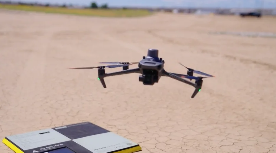
A drone sat on top of the AeroPoint on the ground.
How Propeller’s PPK Post-Processing Solution Revolutionizes Surveying
Read time: 3 mins
What’s New at Propeller? Our Q1 2021 Highlights
Read time: 3 mins
7 road design tools that speed up your next project
Read time: 5 mins
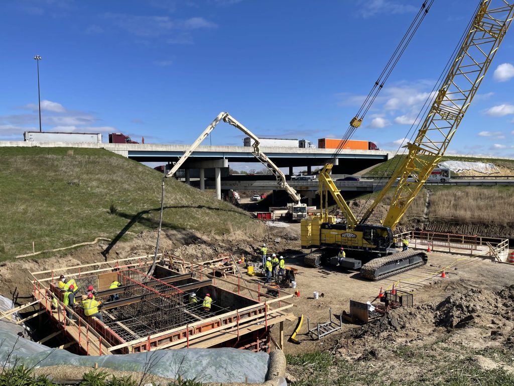
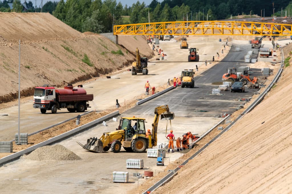
Photo of a busy highway construction site.
Top Ways to Use Drones and Propeller for Road Construction Surveying
Read time: 4 mins
Import LandXML Files Directly Into Propeller
Read time: 2 mins
Introducing Composite Surveys: Streamline Mapping of Large-Scale Sites With Automated 3D Model Stitching
Read time: 4 mins