Resource Center

Real stories, helpful guides, and the latest from the field.

Aerial 3D render of a data center construction site with graded earth, utility trenches, and drainage controls transitioning into a digital site map
Featured article

The data center environmental risk contractors can actually control

Data center projects move fast, disturb large areas, and invite scrutiny over how teams manage land, water, and utilities. A clear, timestamped site record is the environmental risk contractors can actually control.

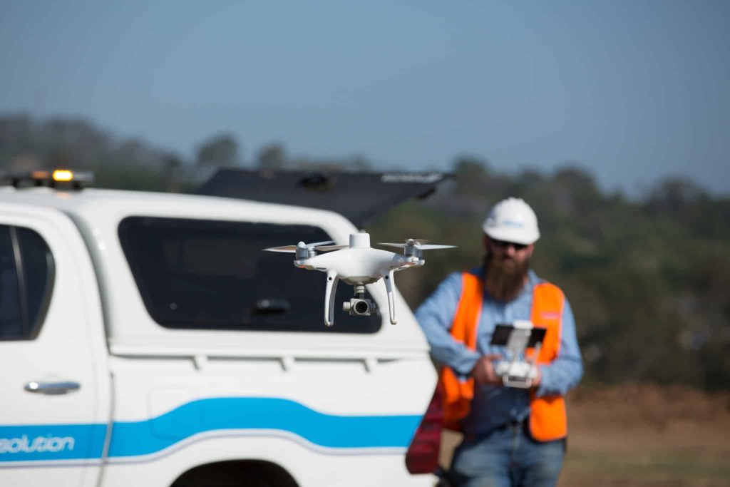
Phantom 4 RTK flying over a waste management site with the site manager walking in the foreground.
Five Steps to Successful 3D Drone Modeling of Your Worksite
Read time: 4 mins
10 Things Your Drone Software Should Get You Post-Survey
Read time: 7 mins
Rory Hall - Grade Tech
Drone Program ROI: How Grade Tech Saved $1.7M (and Counting)
Read time: 5 mins
Product Updates: What Has Propeller Been Up to Lately?
Read time: 7 mins
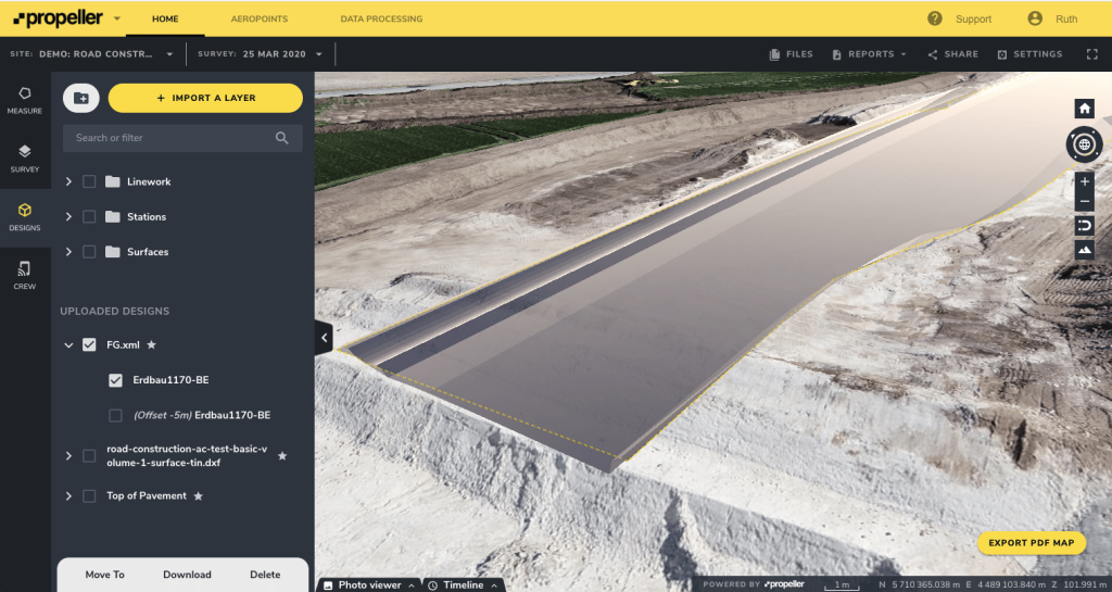
Screenshot of a Propeller platform
5 Civil 3D & Drone Data Workflows
Read time: 9 mins
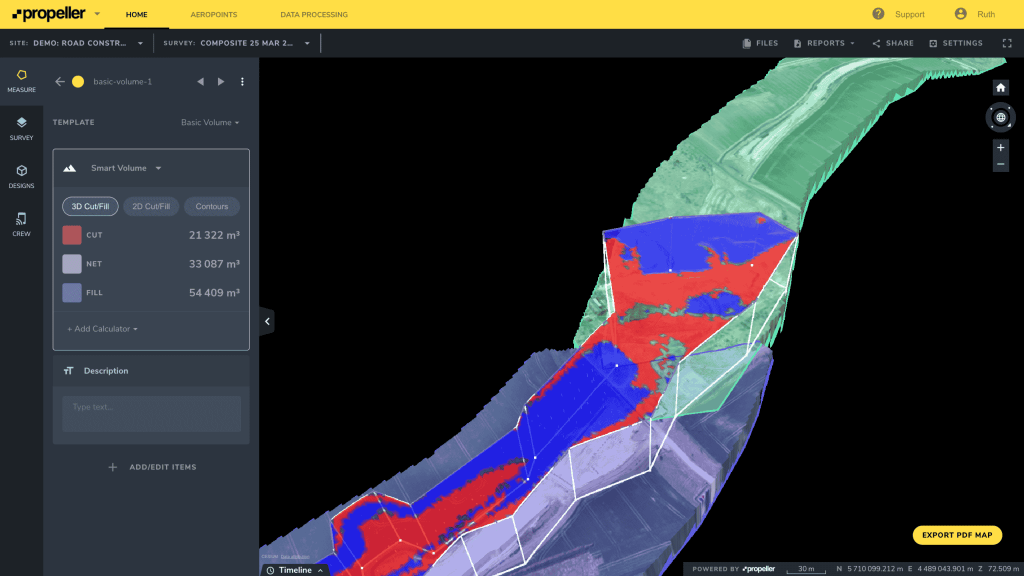
A volume and compare Propeller platform screenshot.
What are DXF Files and How are They Used in Drone Surveying?
Read time: 4 mins
Make Progress Tracking More Accessible and Visually Engaging with Propeller’s Timeline Tool
Read time: 5 mins
How Drones Help with Conflict Management in Construction
Read time: 8 mins
Streamline Inventory Management with Customized Reporting for Stockpiles
Read time: 4 mins
A Propeller Platform screenshot showing a work site cross-section.
The value of construction progress tracking software
Read time: 4 mins
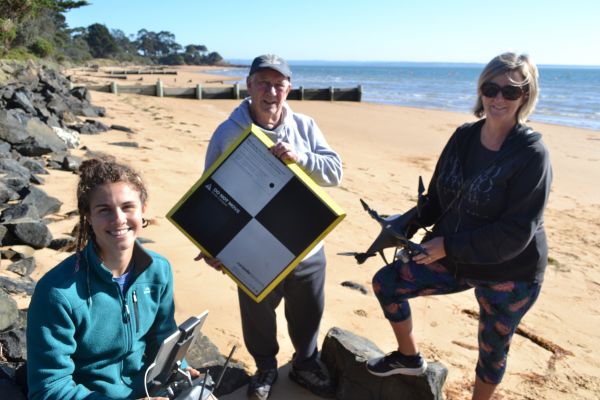
Site worker laying an AeroPoint on the side of a dirt track with a truck driving by.
How to Use Survey Checkpoints
Read time: 4 mins
Is Construction Software Worth the Cost? How (and Why) to Track Software ROI
Read time: 4 mins