Resource Center

Real stories, helpful guides, and the latest from the field.

Aerial 3D render of a data center construction site with graded earth, utility trenches, and drainage controls transitioning into a digital site map
Featured article

The data center environmental risk contractors can actually control

Data center projects move fast, disturb large areas, and invite scrutiny over how teams manage land, water, and utilities. A clear, timestamped site record is the environmental risk contractors can actually control.

State of Our Global Transportation Infrastructure: What You Need to Know
Read time: 3 mins
Beyond GPS: The Digital Transformation of Earthworks Surveying Techniques
Read time: 4 mins
How to Improve Worksite Survey Accuracy with Point Clouds
Read time: 4 mins
Does Ground Sample Distance Matter?
Read time: 3 mins
What’s New with WingtraOne? Announcing WingtraOne GEN II
Read time: 2 mins
Drone Data Workflows and Automated Processing with PPK and Composite Surveys
Read time: 3 mins
Managing Digital Data in the Cloud: Key Benefits for Earthworks Contractors
Read time: 4 mins
3 Most Common Communication Challenges on Worksites (And How Tech Can Help)
Read time: 4 mins
Promoting Sustainability in Earthworks with Drone Technology
Read time: 3 mins
How to Increase Usability and Accessibility of Mine Site Surveys with Photogrammetry
Read time: 5 mins
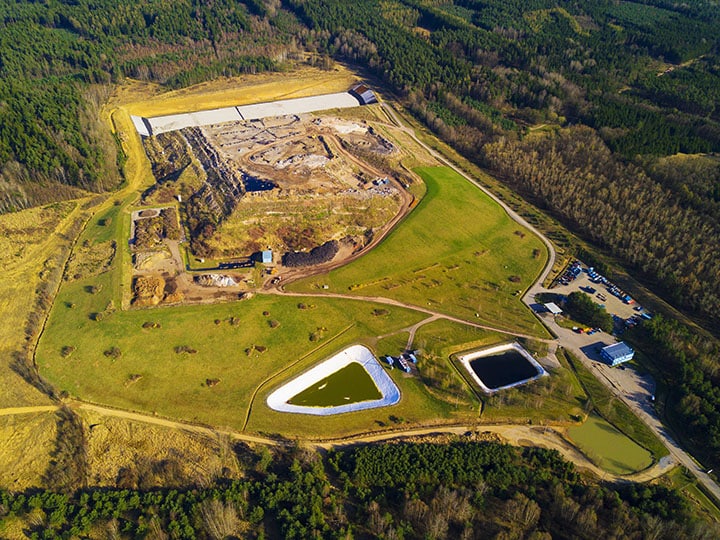
A drone image looking down at a Quarry site.
Accurate Drone Solutions for Real-Time Stockpile Volume Calculation
Read time: 8 mins
Geoid vs Ellipsoid: What’s the Difference
Read time: 4 mins