Resource Center

Real stories, helpful guides, and the latest from the field.

Minimal illustration of a yellow location pin set into the ground with topographic contour lines rippling outward
Featured article

DirtMate RTK 101: Centimeter-level positioning for grade checks, stakeout, and in-cab guidance

DirtMate RTK is a subscription upgrade to DirtMate hardware that delivers centimeter-level GPS positioning for grade checking, point capture, stakeout, and live in-cab cut/fill display, using a base-and-rover correction setup or an existing NTRIP network. It closes the gap between weekly drone surveys and daily field decisions, letting foremen and operators verify grade independently without mobilizing a survey crew. Validated to within 2/100ths of a foot against a Trimble rover on an active civil site, it’s built for field supervision tasks between survey milestones, not as a replacement for licensed survey work.

Product
Reset
Industry
Reset
Workflow
Reset
Region
Reset
4 Tips to Resolve Worksite Disputes With Drone Data
Read time: 6 mins
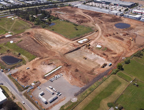
Aerial drone photo looking down at a construction site.
How Drone Mapping Is Used – Applications
Read time: 6 mins
7 Construction Project Management Tips You Should Know
Read time: 4 mins
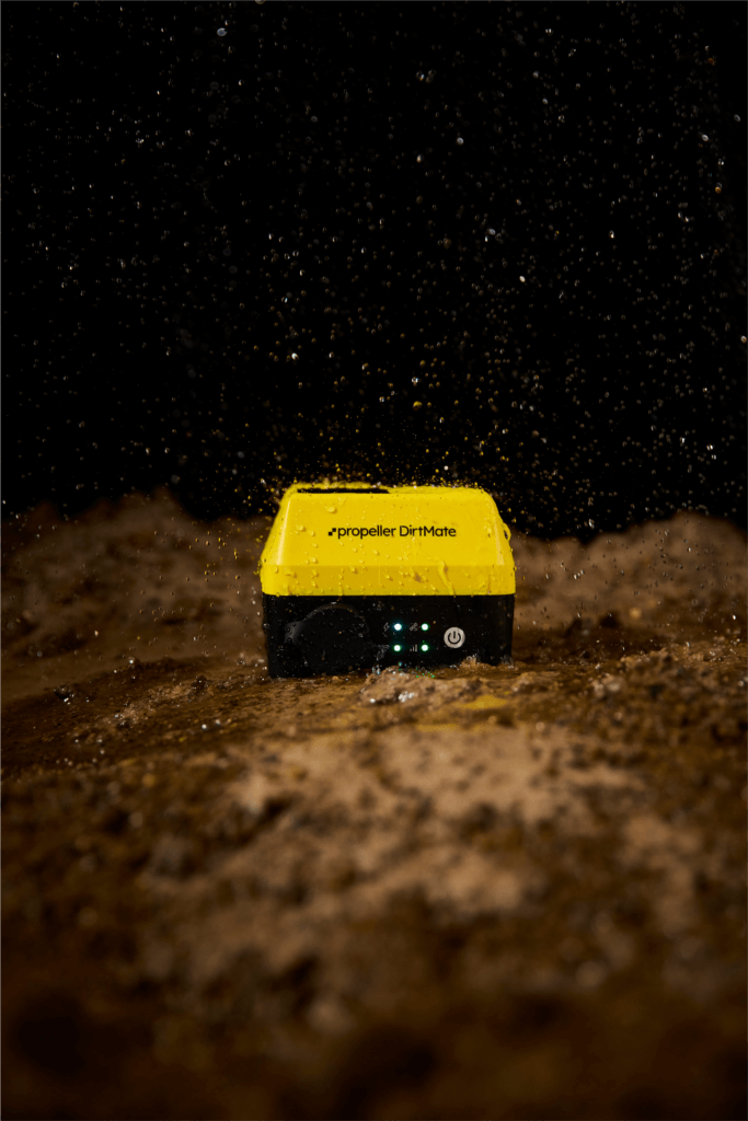
Propeller DirtMate in dirt with water splashing on it
Spotlight on DirtMate: How does it work?
Read time: 3 mins
Announcing Enhanced Takeoff Reporting: Customize Your Maps with More Flexibility and Greater Clarity
Read time: 2 mins
A quick snapshot of Propeller: Usage statistics, fun facts, and more
Read time: 2 mins
Will Drones Replace Surveyors?
Read time: 4 mins
Drone Surveying: Not as Difficult to Learn or Do as You May Think
Read time: 4 mins
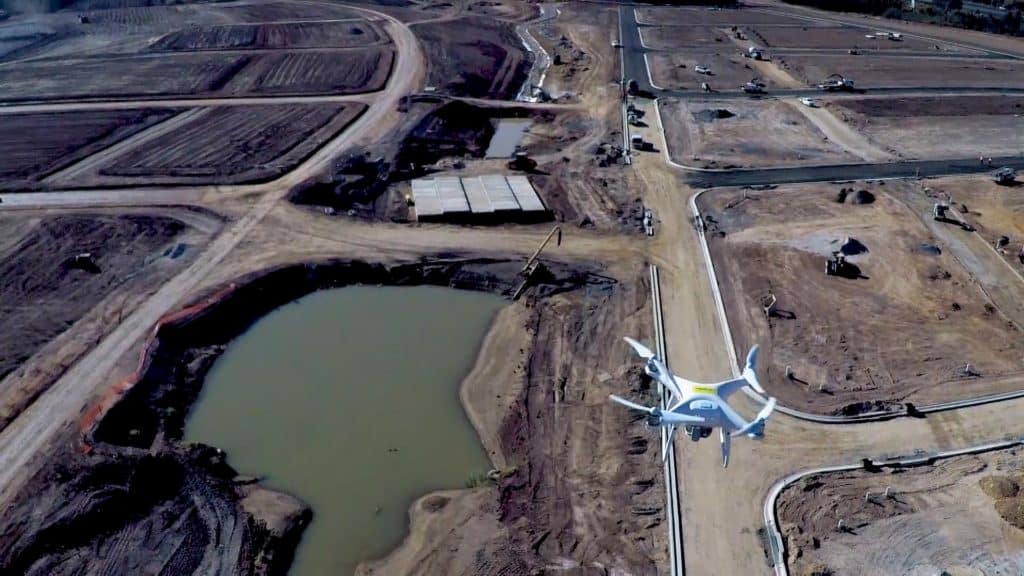
Drone flying over a new urban construction site.
Getting Ready to Start Drone Surveying? Here’s What You Need to Know First
Read time: 3 mins
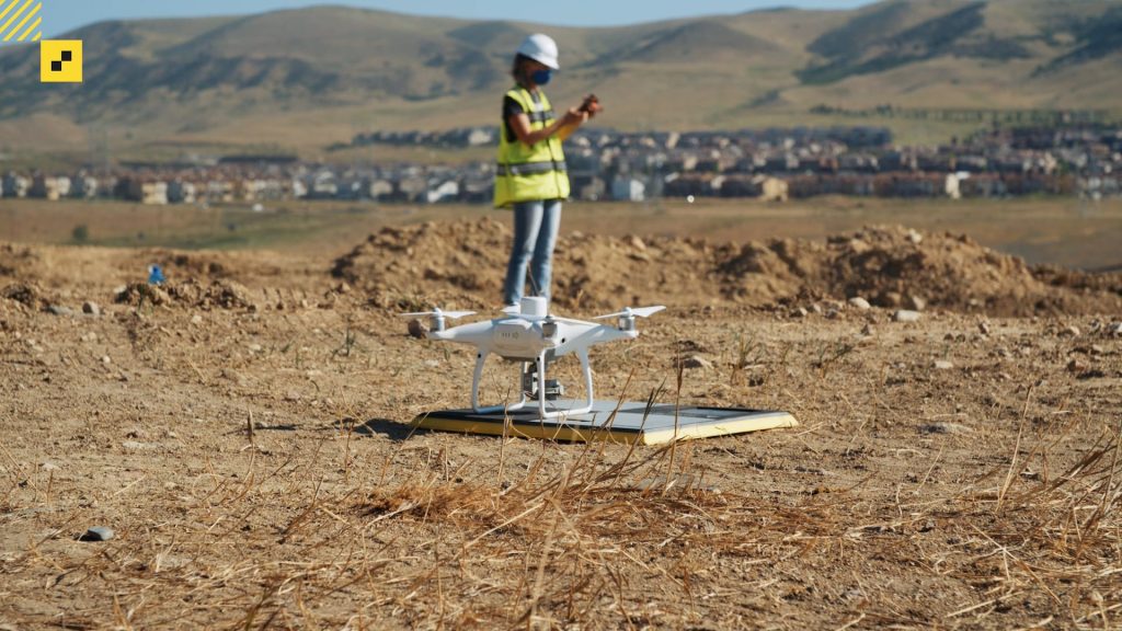
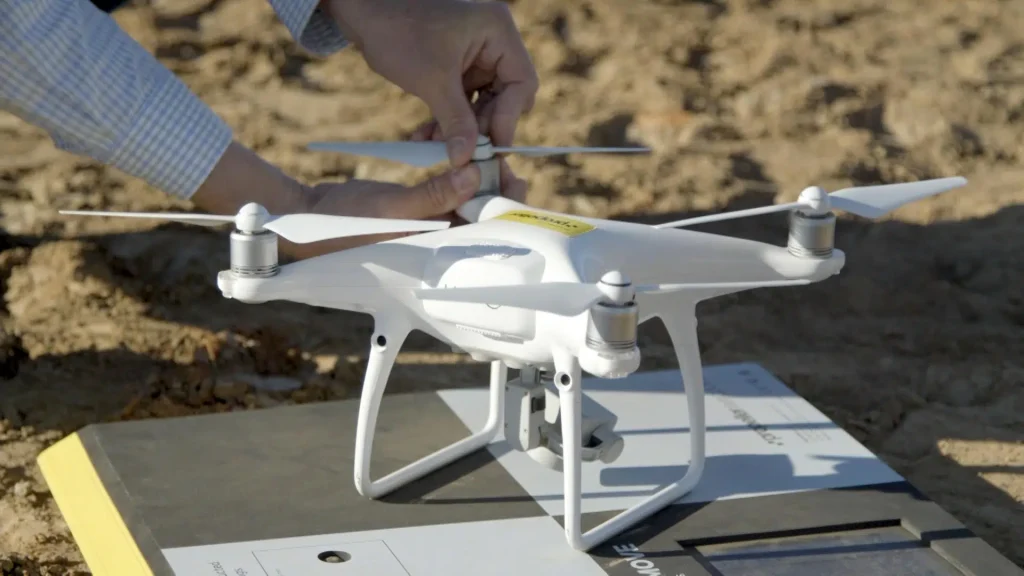
A drone sat on an AeroPoint.
What is Drone Surveying?
Read time: 5 mins
Miner and Contractor: Building Stronger Relationships with Propeller
Read time: 3 mins
Satellite Navigation Systems: The Difference Between GNSS and GPS
Read time: 3 mins