Resource Center

Real stories, helpful guides, and the latest from the field.

Aerial 3D render of a data center construction site with graded earth, utility trenches, and drainage controls transitioning into a digital site map
Featured article

The data center environmental risk contractors can actually control

Data center projects move fast, disturb large areas, and invite scrutiny over how teams manage land, water, and utilities. A clear, timestamped site record is the environmental risk contractors can actually control.

Women in Construction Q&A: Tezak Heavy Equipment’s Kyndra Tezak
Read time: 4 mins
How Earthworks and Civil Construction Can Better Protect Our Environment
Read time: 3 mins
Aerial photo looking down at high-rise building site.
Cut and Fill Calculations for Construction Sites
Read time: 6 mins
Four Different Ways to Use Your AeroPoints
Read time: 3 mins
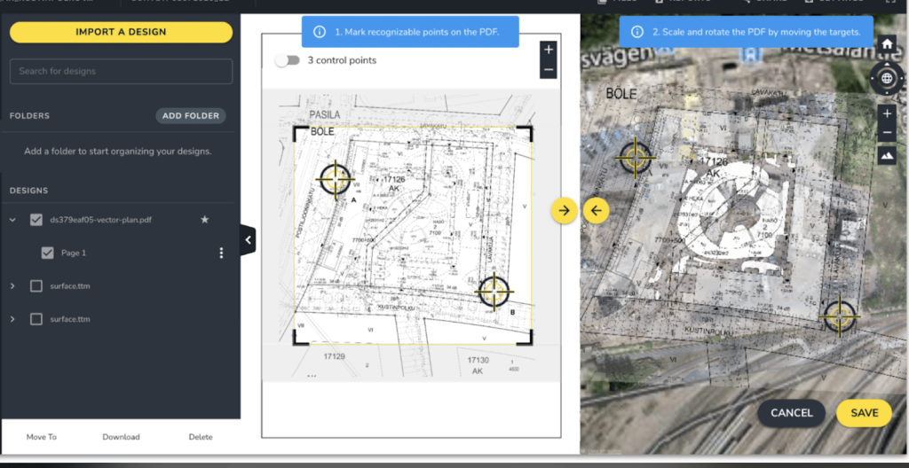
PDF Overlay: Quickly Identify Conflicts between Your Site Design and Current Conditions
Read time: 2 mins
At The Heart of Earthworks Project Health is Drone Survey Accuracy
Read time: 4 mins
4 Tips to Resolve Worksite Disputes With Drone Data
Read time: 6 mins
Aerial drone photo looking down at a construction site.
How Drone Mapping Is Used – Applications
Read time: 6 mins
7 Construction Project Management Tips You Should Know
Read time: 4 mins
Propeller DirtMate in dirt with water splashing on it
Spotlight on DirtMate: How does it work?
Read time: 3 mins
Announcing Enhanced Takeoff Reporting: Customize Your Maps with More Flexibility and Greater Clarity
Read time: 2 mins
A Quick Snapshot of Propeller: Usage Statistics, Fun Facts, and More
Read time: < 1 min