Resource Center

Real stories, helpful guides, and the latest from the field.

Aerial 3D render of a data center construction site with graded earth, utility trenches, and drainage controls transitioning into a digital site map
Featured article

The data center environmental risk contractors can actually control

Data center projects move fast, disturb large areas, and invite scrutiny over how teams manage land, water, and utilities. A clear, timestamped site record is the environmental risk contractors can actually control.

Why Are Site Work Professionals Turning to Drone Surveying?
Read time: 4 mins
Summit Excavation’s Improved Earthmoving Calculations with Propeller and DirtMate
Read time: 3 mins
Shining the Light on Ground Control: Featuring Propeller’s AeroPoints Customers
Read time: 3 mins
How You Can Get More Accurate Quantity Measurements
Read time: 3 mins
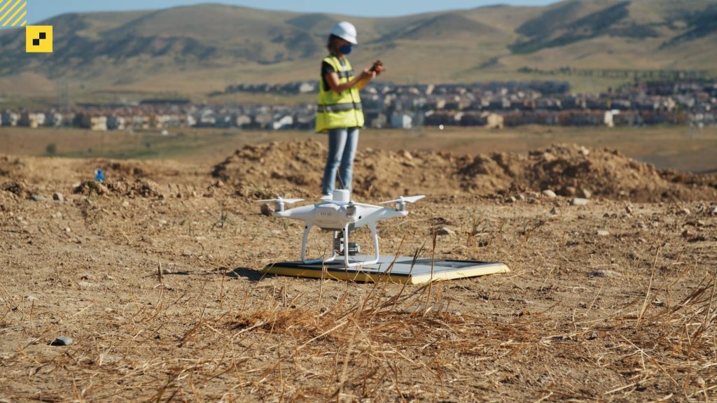
A drone hovering above an AerPoint sat on the ground.
How to Better Understand the Impact Drone Surveying Can Have on Your Business
Read time: 2 mins
Key Factors to Consider When Selecting a Drone for Your Earthworks Business
Read time: 4 mins
Propeller vs Other Drone Surveying Vendors: How We Stack up against the Competition
Read time: 4 mins
Two Sides of Propeller Support: Exploring the People and Tech Behind Our Customers and Products
Read time: 4 mins
Propeller Celebrates 8 Years of Innovation, Collaboration, and Growth
Read time: 3 mins
Key Propeller Platform Features: Providing You Easy Access to Loads of Data
Read time: 4 mins
3 Simple Ways to Improve Worksite Communication Between Field and Office
Read time: 3 mins
A drone flying over a landfill site.
Can You Fly a Drone in the Rain? 
Read time: 2 mins