Growth is a primary indicator of a successful business. It brings more customers, more projects, and—of course—more revenue. However, expanding your business also requires adjusting your operations to accommodate scale. Your team can only handle so much work on its own. Every business has a tipping point, after which technology plays a key role in advancing growth.
Fortunately for earthworks businesses, drone surveying workflows like Propeller PPK and progress tracking tools like DirtMate can support you as you scale.
Read on to learn how tech helps increase visibility into your operations across multiple projects, enabling you to optimize your efficiency and be competitive.
Understand what’s happening and why
Only a few years ago, accurately tracking daily operations on a worksite was difficult. Load counts and end-of-day reports from foremen and supervisors were the closest tools resembling real-time data, and even those were subject to errors.
Material quantities were often estimated because you might wait days or even weeks to bring a surveyor onsite for a progress update—and sites changed so quickly that these surveys were outdated soon after their completion.
Progress tracking with Propeller PPK and DirtMate can eliminate the guesswork in moving material.
An increasing number of contractors now rely on drone surveys to give them frequent insight into what’s happening on a worksite: calculating cut/fill, scoping material volumes, and tracking progress against design. But even frequent drone surveying can leave some questions to be answered, such as what’s happening on my worksite right now? DirtMate is the key to filling in these gaps. When you fly your drone, you see what’s changed from flight to flight. DirtMate gives you access to up-to-date surface data every 30 minutes and machine usage data in near real time.
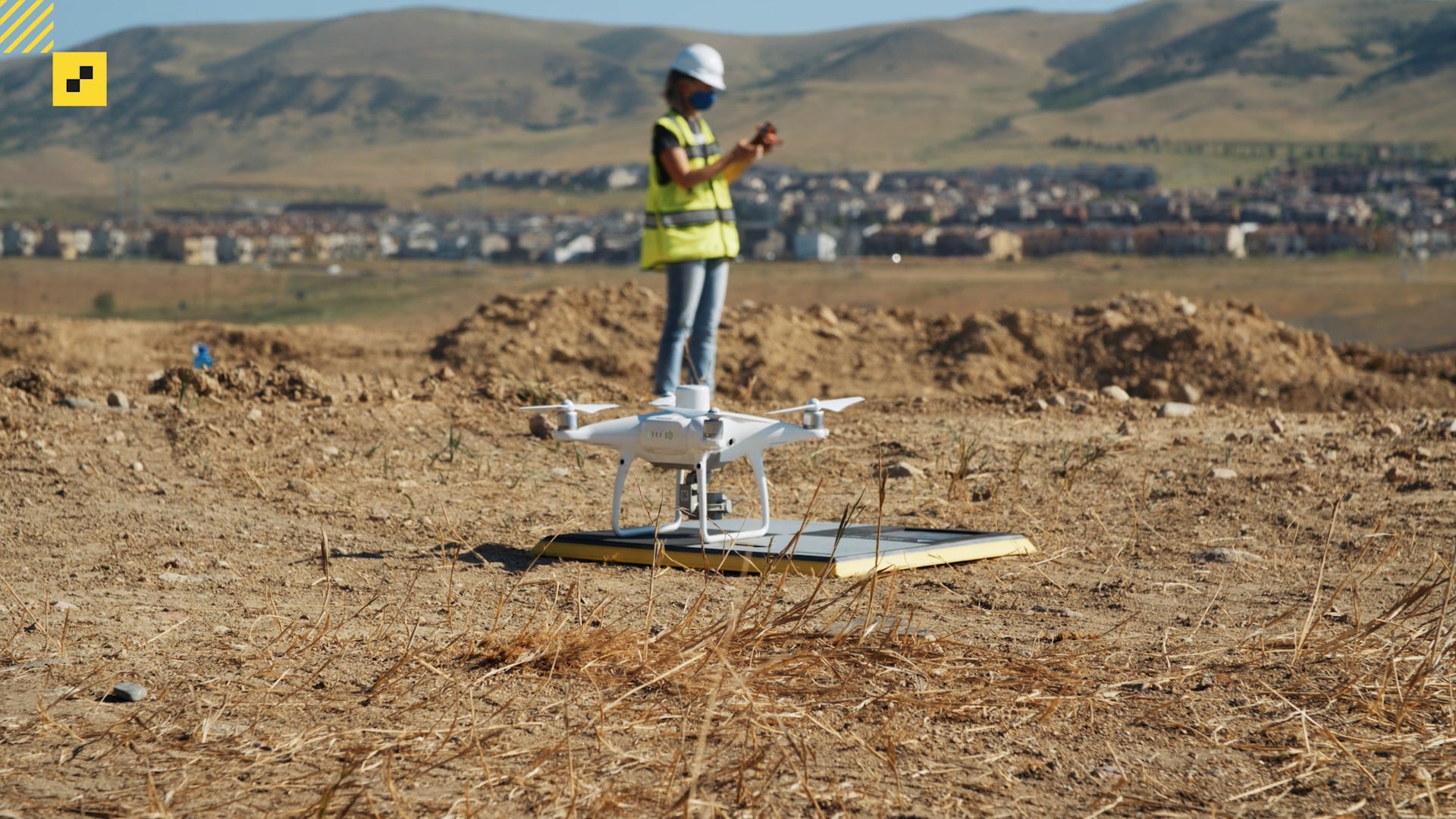
Drone surveys use photogrammetry to create highly detailed 3D maps from a series of GPS-linked aerial images, and using smart ground control like Propeller’s AeroPoints eliminates the need to shoot ground control points to complete a survey. Simply place an AeroPoint on the ground nearby and begin the drone’s flight sequence. In 24 hours, you’ll receive a processed data set in the form of an updated site survey accurate to 1/10 foot.
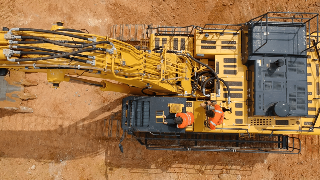
Between drone flights, DirtMate fills in the gaps with near-real-time updates on stats like volume measurements, ground elevations, and equipment status. A built-in GPS receiver tracks machine movement on site, and the onboard IMU tracks machine vibrations to determine whether a machine is working, sitting idle, or turned off.
With eyes on your daily operations, you can track progress against design, pinpoint productivity challenges, and make adjustments on the fly based on actual performance metrics.
Machine and drone surfaces are automatically combined with the most recent data for a robust, up-to-date site report.
When you understand what’s happening on-site and why, you can:
- Make quick adjustments to improve load times and cycle counts
- Understand and resolve issues that could create delays
- Move equipment and teams where they’re needed to avoid downtime and prevent rework
Become a resourceful competitor
To be competitive, earthworks pros need to understand exactly what’s happening on their worksite at any given moment—and how it will impact the final project outcome. Providing your customers with direct access, greater accuracy, and projects that finish on time and on budget will allow you to maximize your revenue stream and attract new business.
How technology-enabled workflows set your business apart:
- Create more accurate estimates: By removing the guesswork and replacing manual processes with automation, you’ll win more bids with faster, more accurate project estimates.
- Allow customers access: Choose a cloud-based tool, so you can grant access to anyone who needs it, anywhere. Customers can see the same data you can (if you want them to), which helps prevent disputes and change orders down the line.
- Keep all critical project details in one place: Miscommunications are much less likely when all your necessary project info can be found in one place. With a single source of truth, you can easily demonstrate progress onsite, eliminate data silos, and understand precisely where each project stands.
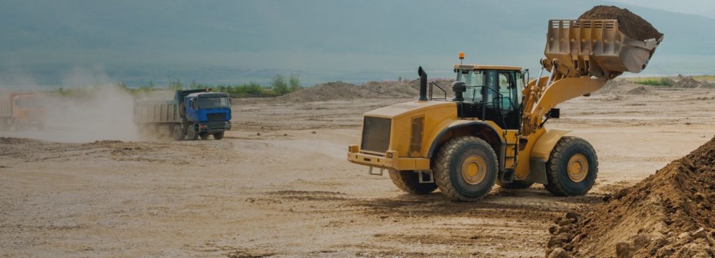
Optimize every load
With more data at your fingertips, you can work more efficiently. Armed with on-the-ground data from drone surveying and machine tracking technology, you can optimize your projects at every stage, from pre-bid to project completion.
The benefits don’t end with your daily operations, either:
-
- Increase employee satisfaction by providing high-tech training and a safer working environment
- Reduce rework when you’re always a step ahead of project errors
- Improve worksite safety, even in extreme weather conditions
- Eliminate data silos and improve collaboration