AI on the jobsite: What construction teams are actually using it for

Read Time: 5 mins
Quick links
    A small mound of dark soil on a navy surface with a single yellow line extending from it in a clean path

    Construction teams are using AI to automate the time-consuming back-office work that used to sit between a site event and a useful number: volume calculations, cut/fill analysis, stockpile reporting, and design generation. Tools like Propeller apply AI directly to drone survey data, so the output is already connected to real site coordinates and real terrain. The shift isn’t about replacing field teams; it’s about giving them faster answers from the data they’re already collecting.
    What AI actually means for earthwork teams: where it saves real time, where to be skeptical, and five questions to ask before you adopt anything.

    Open any construction trade publication and AI is everywhere. According to a recent survey by Dodge Construction Network and CMiC, 87% of contractors believe AI will have a meaningful impact on the industry. Only 19% have adapted their workflows for it.

    That gap is where teams get burned. The last thing anyone needs is a dashboard full of data that nobody acts on. Meanwhile, the questions your project managers ask every day haven’t changed: Are we on grade? Are we on schedule? Did we move enough dirt today? Where did we lose time this week?

    The right technology, AI-powered or not, should help you answer those questions faster and with more confidence. This guide covers what AI actually does on a jobsite, where to be skeptical, and how to evaluate any platform claiming AI capabilities before you commit.

    What AI actually does on a construction site

    AI on the jobsite doesn’t look like robot foremen or self-driving dozers. In practice, it shows up in three ways.

    Catching patterns before they cost you
    Flags when haul cycles run long or a section keeps drifting off grade, surfaced automatically, without someone digging through logs.
    Automating what shouldn’t need a human
    Processing imagery, generating daily reports, flagging idle machines. Reliable automation gives your team time back for the calls that actually need them.
    Getting from raw data to decisions, fast
    What used to take days now happens in hours. The right information reaches the right person within a single shift, before the window to act closes.

    Where AI helps in construction and earthwork

    Data processing: Raw capture to usable maps

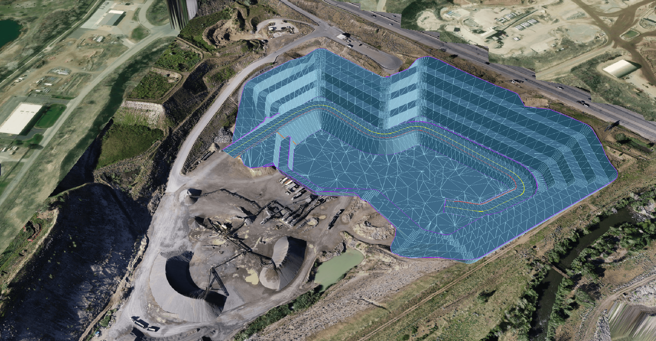
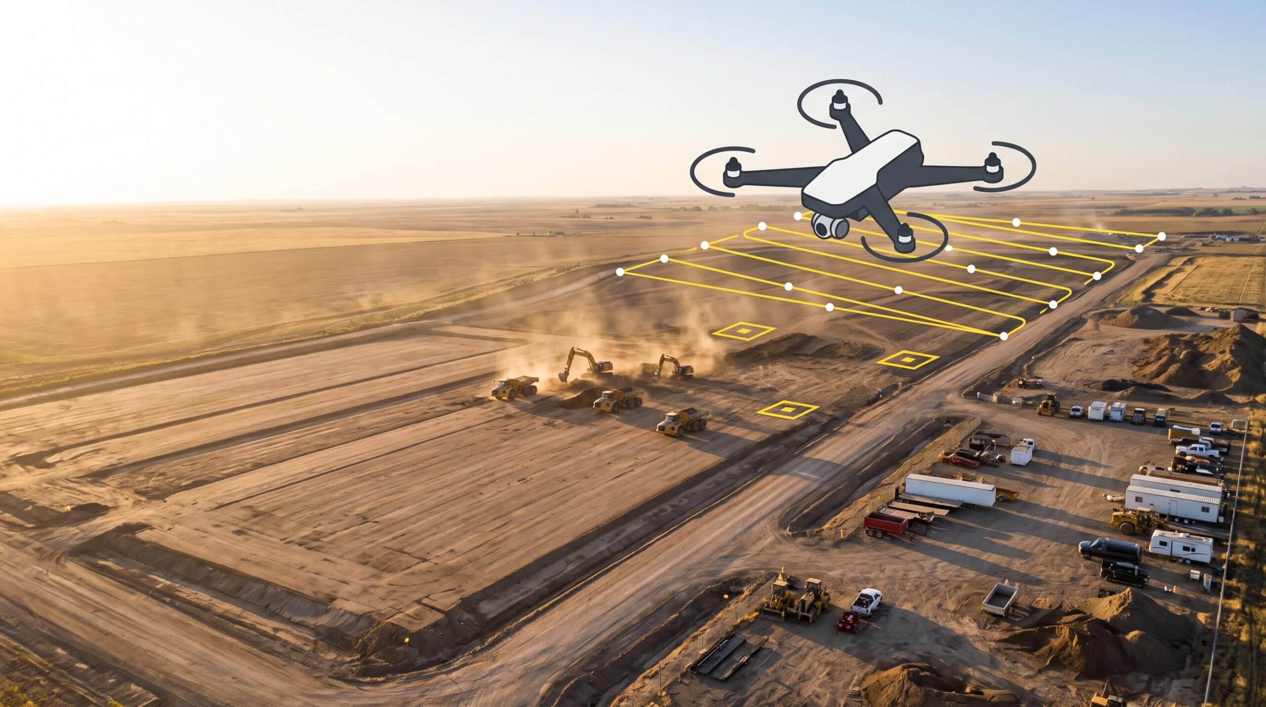
    Most survey workflows are time-consuming. Even if you fly a drone to speed up capture, everything that follows still takes time: processing imagery, running QA/QC, generating output files, and rendering it all into something the site team can act on.

    AI is compressing those timelines while keeping human QA in the loop to make sure precision stays intact. Teams that used to wait days for survey data are now getting results back in hours. Nova Rota do Oeste cut their data turnaround from 14 days to 48 hours on Brazil’s largest road project. The Sisk/Sorensen Joint Venture on Ireland’s Adare Bypass reduced survey time from a week to a single day.

    14 days
    → 48 hours
    Data turnaround on Brazil’s largest road project, without sacrificing accuracy.

    When you’re running against a deadline, the gap between 14-day-old data and same-day insights is the whole game.

    Automation: Recurring reports, volume tracking, change detection

    The tasks that repeat every day (load counts, cycle times, volume comparisons, and progress report) are built for automation. Automated daily reporting means project managers start every morning with load and cycle data, a volume heatmap, and a seven-day trend, without anyone compiling it by hand. Machine telematics tracks run time, idle time, speed, and cycle length automatically, surfacing patterns that signal inefficiency before they show up in the budget.

    Visibility: What changed, and fast

    Change detection might be the most underrated application of AI in earthwork. AI can automatically identify what is different between two survey captures and surface it clearly so nothing gets missed. Where survey maps were once a record of the past, they’re now a tool for managing the present: cut/fill analysis against design surfaces, progress tracking against schedule, and site checks that flag grade issues before crews have moved on. All of these workflows close the loop between what happened and what to do next, putting that information in front of the whole team, field and office alike.

    Where AI falls short

    Knowing where not to lean on AI matters just as much as knowing where to use it. Here are the claims worth being skeptical of.

    Fully autonomous decision-making
    No tool should make calls about grading, billing, or scheduling without a human in the loop. AI surfaces information. Judgment still belongs to the team.
    Tools that require perfect inputs
    AI is only as good as the data it runs on. If a platform promises intelligent insights but breaks down when survey data has gaps, it is not ready for real jobsite conditions.
    Dashboards that look impressive but don’t change behavior
    According to AGC’s annual outlook survey, 61% of construction firms now use AI or plan to increase their investment in it. Actual workflow integration is still rare. Choose tools for their fit, not their features.

    How to evaluate AI tools for construction

    Before adopting any platform that claims AI capabilities, run it through these five questions.

    1
    Does it reduce the time between data capture and decision?
    Core AI value is speed. If it doesn’t meaningfully narrow that window between “we have data” and “we know what to do,” it is solving the wrong problem.
    2
    Does it fit into existing workflows or create more steps?
    Adoption breaks on friction. Every added step is a chance for it to fail. The best tools slot into workflows teams already run, without asking the field team to overhaul how they operate.
    3
    Does it improve confidence in decisions, not just add more data?
    More data isn’t always better. The output needs to be clear, specific, and trustworthy enough to actually change a decision. If the team still has to manually interpret raw outputs, the AI isn’t doing its job.
    4
    Can the whole team use it?
    Tools that work for engineers but confuse foremen create silos. The best platforms work across roles, with different views for different needs, all anchored to the same underlying data.
    5
    Does it drive action?
    AI tools should make it obvious what to do next and put that information in front of the right person at the right time. Visibility is the floor, not the ceiling.

    Where Propeller fits

    Propeller is a real-time command center built for earthwork from the ground up. The map is where decisions get made, and everything feeding into it is accurate, current, and actionable.

    High-precision drone surveys processed through AI, with human QA baked in, deliver ready-to-use site surfaces in hours. Cut/fill analysis, hydrology tools, and design comparison are available the moment your data comes back.
    Streams real-time machine location, utilization, and cycle data into the same platform as your drone surveys. Daily production reports run automatically. Efficiency gaps surface before they compound.
    Centimeter-level positioning for foremen and operators: grade checking, point capture, and in-cab guidance, without waiting for a survey crew to travel between sites.
    Captures navigable, georeferenced ground-level video for trenches, installations, and anything a drone can’t see from above. Handheld Scanning takes that further by capturing measurable 3D data from a phone.
    Generates earthwork design concepts from plain-language prompts directly on your survey terrain, then exports to DXF for engineering handoff.

    The bottom line

    The teams winning on site won’t be the ones with the most AI tools. They’ll be the ones making the best decisions, consistently, because their data gets from capture to action without unnecessary delays or guesswork.

    AI earns its place when it shortens that path. When it doesn’t, it’s just a more expensive dashboard.

    Quick links

      Related articles

      Ground-level view of an active construction site showing a fresh concrete pour, graded haul road, and open trench excavation under overcast daylight

      Proof: The importance of context in communication

      Propeller Field gives construction teams geo-referenced, timestamped site capture that lands directly in the project…

      How to Use Drone Survey Data on Your Construction Site

      Drones cut down surveying times to hours instead of days or months, and they’re cheaper…

      How Propeller calculates expected accuracy

      Learn what a point cloud actually is and then how drone data is integrated with…

      Ready to learn how Propeller can power up your worksite?

      We’re happy to show you how Propeller can power your worksite, and boost productivity.

      Related articles

      Drone pilot in hi-vis flying a drone next to a crane, with an AeroPoint on the floor.

      Things To Know About Ground Control in Drone Surveying

      Ground control is the go-to option for turning drone data into highly accurate, survey-grade models.…
      DJI M4E flying in the sky

      Propeller’s Drone Guide: DJI Solutions for Commercial Operations

      At Propeller we love testing new drone hardware and we are processing hundreds of drone…

      Telecom Tower Inspection using DJI Phantom 4 Pro: Step-by-Step Guide

      A few weeks ago a new DJI Phantom 4 Pro was delivered to our office.…